Hiking the Acadia National Park Super Loop - Cadillac Mountain, the Beehive and so much more
Acadia National Park, on Maine's rocky Atlantic coast, was established in 1916 as Sieur de Monts National Monument, later becoming Lafayette National Park in 1919, and finally Acadia National Park in 1929. It is the first National Park east of the Mississippi River and the only National Park in the northeastern U.S. Acadia National Park is known for its stunning landscapes, including Cadillac Mountain - the highest peak on the United State's east coast, along with rocky coastlines, and dense spruce and pine forests.
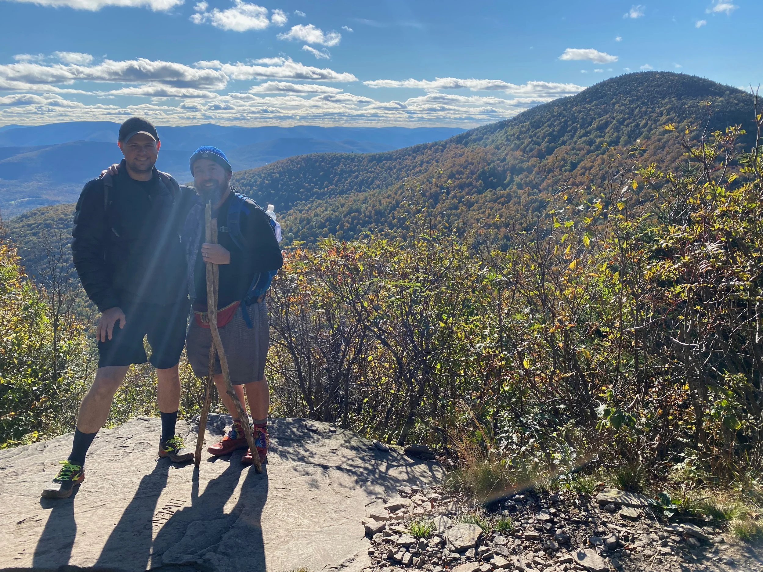
Without a lot of time to spend exploring the many smaller hikes available in Acadia National Park, we decided to string together a number of different trails and roadwalks to complete a 16 mile loop hike that covers most of the major destinations on the eastern third of Mount Desert Island in Acadia National Park. We began at Sieur De Monts and along the way visited Champlain Mountain, the Beehive, Sand Beach, Thunder Hole, Cadillac Mountain, and a number of other sights along the way before returning to Sieur De Monts.
Jeff was joined by Paul, the Oklahomo Hiker on this hike, along with several other Acadia National Park adventures!
Trail Guide: It’s important to note that this loop can really be started anywhere it crosses a road or there’s parking, which is often the challenge in Acadia. We had several alternative sites to start if the parking at Sieur De Monts had already filled up. Thankfully it hadn’t, so that’s where we began.
From Sieur De Monts and the Wild Gardens of Acadia we followed the Wild Gardens Path to the shoreline of the Tarn where we intersected with the Beachcroft Path and followed it eastward, across Route 3 and up to the summit of Champlain Mountain. The Beachcroft Trail up Champlain, while climbing a steep route, is built with many switchbacks and stairs and it really makes for an interesting and scenic view. The trail first tops out on Huguenot Head, before descending slightly and then climbing up the rest of Champlain Mountain.
On the summit of Champlain Mountain, we took the Champlain South Ridge Trail to the south, following the mostly open rock ridge towards The Bowl and The Beehive. It’s.a rather gentle asecent with only a few ledges to climb down along the way. A little over three miles into the hike you’ll come to the outlet of The Bowl and then shortly thereafter to the end of the Ridge Trail at the intersection with The Beehive Trail and the Bowl Trail.
In order to hike The Beehive in the safest way possible (by ascending), we took the Bowl Trail over the notch between Halfway Mountain and The Beehive and then down to its intersection with the other end of the Beehive Trail. From that intersection, we followed the Beehive Trail up the Beehive to its summit. An important note is that the Beehive Trail is not for the faint of heart. The Beehive may not be a big mountain (518’ in elevation), but it’s very steep and the trail climbs through cliffs and ledges on metal rungs and in places along narrow paths with large drops on one side. For anyone with a fear of heights, this trail will be very difficult.
After the summit of the Beehive, we headed down it the Beehive Trail to its intersection with the Bowl Trail, which we followed back down, past the intersection with the Beehive Trail and out to the trailhead on the Acadia National Park loop road. From there we walked along the loop road to the parking area for Sand Beach. At Sand Beach (a very popular stop on the loop road), we took a quick swim and then began to follow the Ocean Path, which parallels the coastline and the Park’s loop road. We hiked past Thunder Hole and then left the Ocean Path and followed the Otter Cove Trail across the peninsula and across Otter Cove.
After Otter Cove, we joined the Quarry Path, which we followed into the Blackwoods Campground. The campground has a small general store, along with bathrooms and several different opportunities to fill up on water. After cameling up and resting some, we continued through the Campground and then followed the Cadillac South Ridge Trail Access Trail out of the campground and to Route 3, where the Cadillac South Ridge Trail officially started.
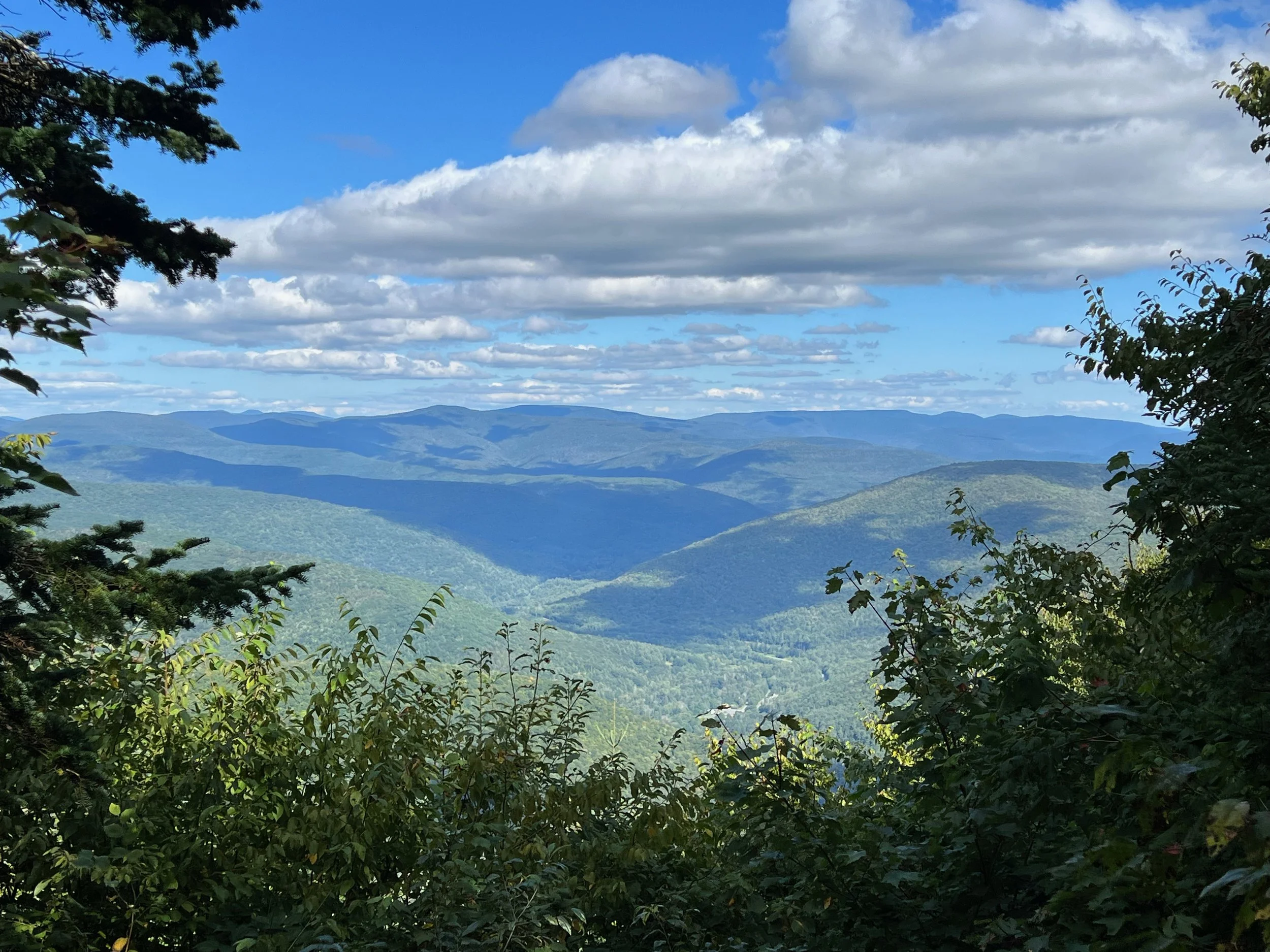
We followed the Cadillac South Ridge Trail from Route 3 to the summit of Cadillac Mountain. This hike is a beautiful route up Cadillac Mountain. After starting in the woods, you’ll quickly get on to the rock ridge which opens up and provides almost constant views along the way.
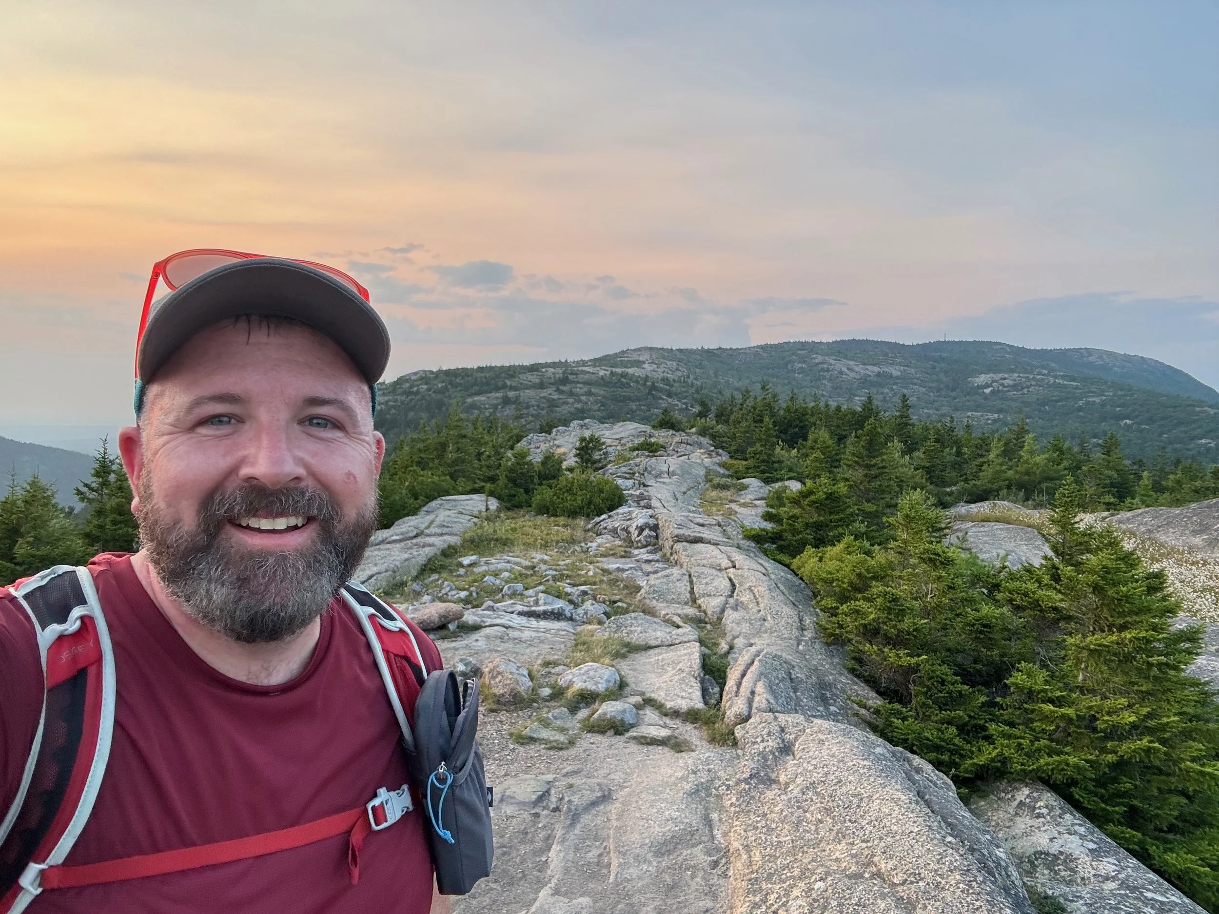
We enjoyed the views off the top of Cadillac and before it got too dark, we began descending on the Cadillac North Ridge Trail to the Park’s loop road at the bottom of the mountain. From there we followed the loop road to its intersection with the Jessup Path, which we followed back to Sieur De Monts and the Wild Gardens of Acadia.
All told this was a roughly 16 mile hike with almost 3,200 feet of elevation gain along the way. The most difficult part of the hike is the Beehive Trail, but taken all together this is a difficult hike given the long distances and the mix of terrain that you’ll find along the way.
For More Information About This Hike
You can find this hike:
Our Hiking Advice and Hiking Gear Recommendations
Gear we used on this hike:
Some product links are affiliate links and we earn from qualifying purchases. Others are links through the Amazon Influencer program and as an Amazon Influencer, we earn from qualifying purchases. Still others, we just want you to know about some good gear we enjoy!