Day 2 - 2020 Northville Placid Trail Thru Hike - Abner Brook Campsite to Hamilton Lake Stream Lean-to
The Northville-Placid Trail (NPT) is a 139-mile long distance hiking trail that runs through the heart of the Adirondacks - from the village of Northville in the south to the village of Lake Placid in the north. The trail is unique in the Adirondacks that it does not traverse any significant mountain peaks, but instead stays to the valleys and lowlands throughout the Adirondacks. That results in the trail passing many lakes, streams, ponds (and there being plenty of mud along the way).
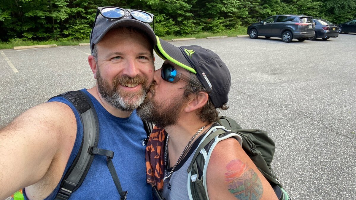
Getting ready to hit the trail on Day 2
We thru hiked the NPT between August 9, 2020 and August 18, 2020. We hiked for 9 of the 10 days with one zero near Long Lake. For the hike, we had two cars, so we set up the overall plan to hike the NPT with a handful of car shuttles. The shuttling, while it burned up some time that could have been spent hiking, also gave us a chance to resupply and grab some town food roughly every 3 days.
For the second day on the NPT, we started at the Abner Brook Campsite and hiked north from there. Along the way we passed Rock Lake, Silver Lake, Canary Pond, Mud Pond, crossed the West Branch of the Sacandaga River, and crossed Hamilton Lake Stream before we called it a day at the Hamilton Lake Stream Lean-to - about 19 miles from where we started the day.
As part of the hike, Jeff kept a journal of each day and so, with so we will be using his journal to provide a description of each day’s hike. You can also find the entire NPT thru hike on our YouTube channel here.
Day 2 - Abner Brook Campsite to Hamilton Lake Stream Lean-to
We broke camp at the Abner Brook Campsite early and headed north on the NPT. Reached junction with old NPT route that came in from Godfrey Road, which is where I had come from on thru hike attempt with a friend in 1993 when I was 16.
From that trail junction, it was a fairly long, non-descriptive slog to Rock Lake. After Rock Lake, we walked by Silver Lake (where I stayed in 1993 on night one) and then past Canary Pond and Mud Pond before descending and crossing the West Branch of the Sacandaga River at Whitehouse.
The NPT crosses on a big suspension bridge that’s in fairly good shape. From there, we continued north and crossed Hamilton Lake Stream on a big suspension bridge that wasn’t in as good of a shape as the earlier one. It was missing several floorboards and spaces were covered by perpendicular boards. The entire bridge was crooked too. Reached the Hamilton Stream Lean-to shortly after that around 7:30.
Left little toe was sore from Day 1 but really started to hurt this day. The toe next to the smallest one seems to crush it - bending the nail on the little toe and just making the toe hurt like crazy. I had expected to the lose the nail as it almost always hurts hiking, and it has happened before, but the pain started to get more intense this time around.
The intense Adirondack heatwave continues.
Resources for the Northville-Placid Trail in the Adirondack Park
The best guide to the NPT is the Adirondack Mountain Club's Northville-Placid Trail Guidebook
The best map is the National Geographic Trails Illustrated Map for the Northville-Placid Trail
You can save a few bucks and get both the Guidebook and Map as a bundle
Both proved indispensable for this hike. The NPT isn't currently in an app like Guthook and the AllTrails data is very, very limited. For the NPT definitely go with the old fashioned map and pick up the guidebook so you know what to expect. We carried both with us, but if I did it again, I'd just have the map. The map is waterproof/tearproof so it'll survive the hike.
Interested in hiking the NPT, but want guide services? Hike On Guides can do that - we have special long distance hiking services tailored for the Northville-Placid Trail.
Gear we used on the Northville Placid Trail


