Day 5 - 2020 Northville Placid Trail Thru Hike - Cedar Lakes #1 Lean-to to Lake Durant/Route 28
The Northville-Placid Trail is a 139-mile long distance hiking trail that runs through the heart of the Adirondacks - from the village of Northville in the south to the village of Lake Placid in the north. The trail is unique in the Adirondacks that it does not traverse any significant mountain peaks, but instead stays to the valleys and lowlands throughout the Adirondacks. That results in the trail passing many lakes, streams, ponds (and there being plenty of mud along the way).
We thru hiked the NPT between August 9, 2020 and August 18, 2020. We had one zero near Long Lake. We had two cars so we set the hike up with a handful of car shuttles. That gave us a chance to resupply and grab some town food.
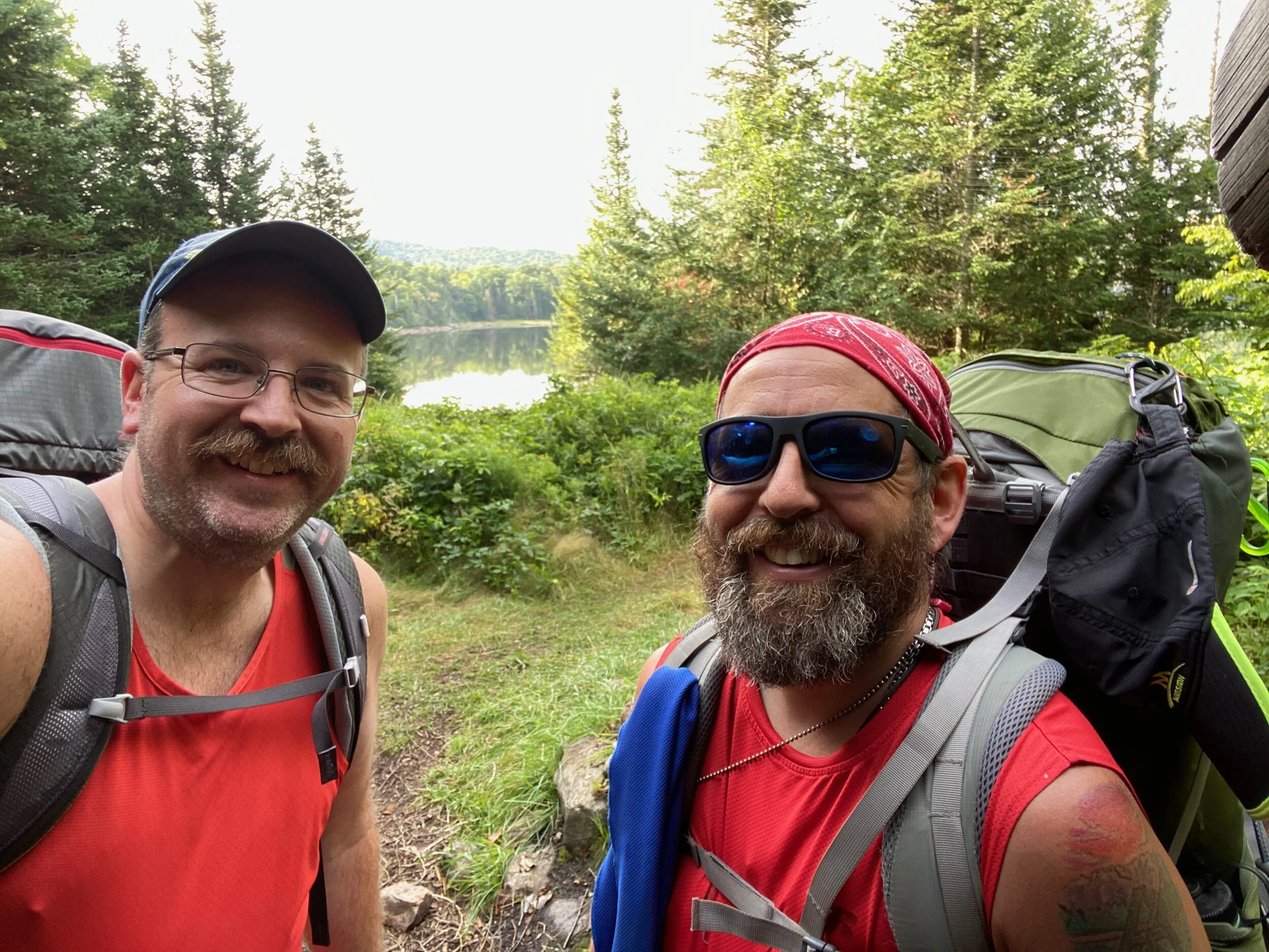
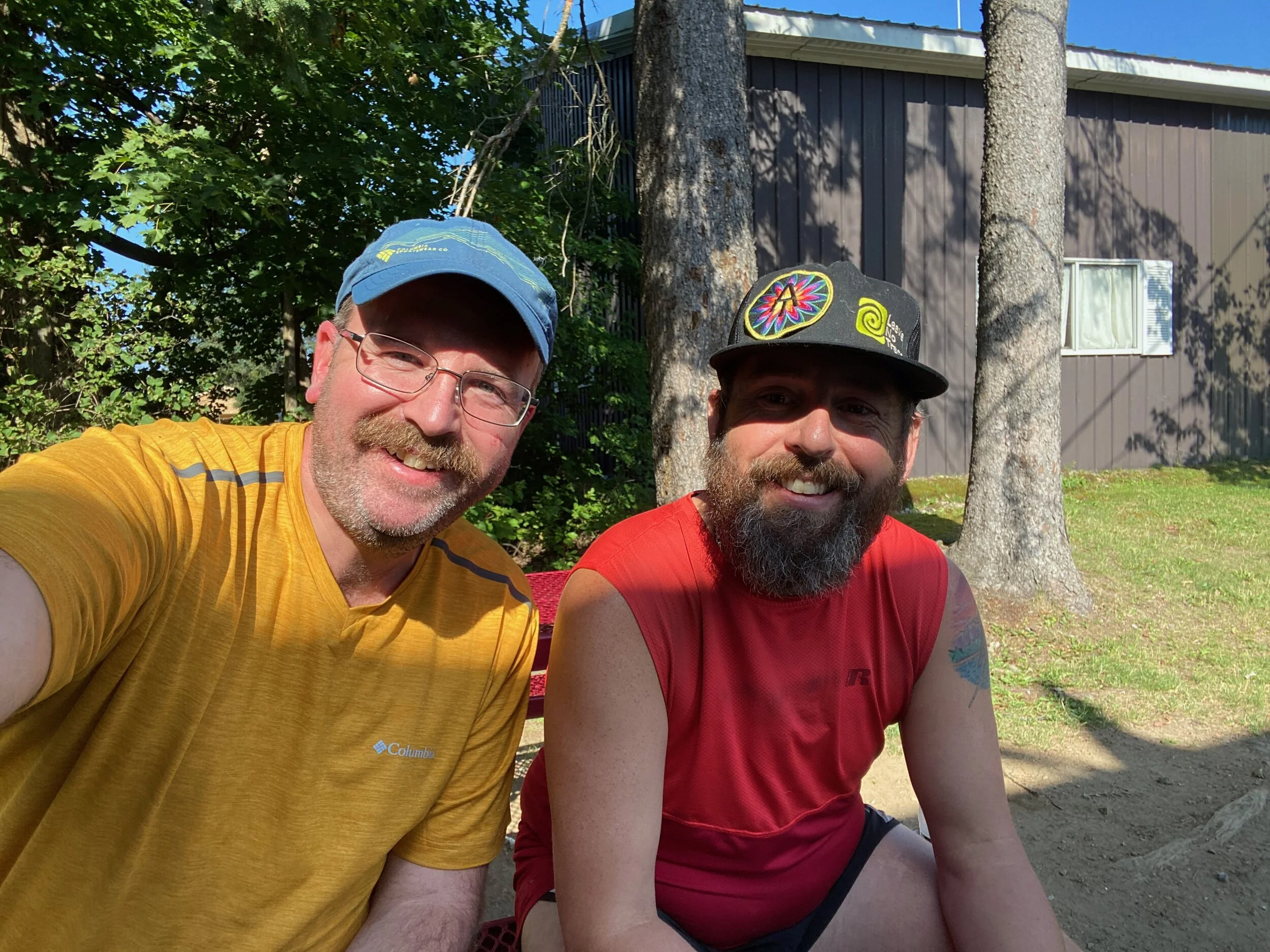
We kicked off Day 5 at the Cedar Lakes #1 Lean-to and hiked to our car on Route 28 near Lake Durant. From there we drove back to Wakely Dam and spent the night.
As part of the hike, Jeff kept a journal of each day and so, with so we will be using his journal to provide a description of each day’s hike. You can also find the entire NPT thru hike on our YouTube channel here.
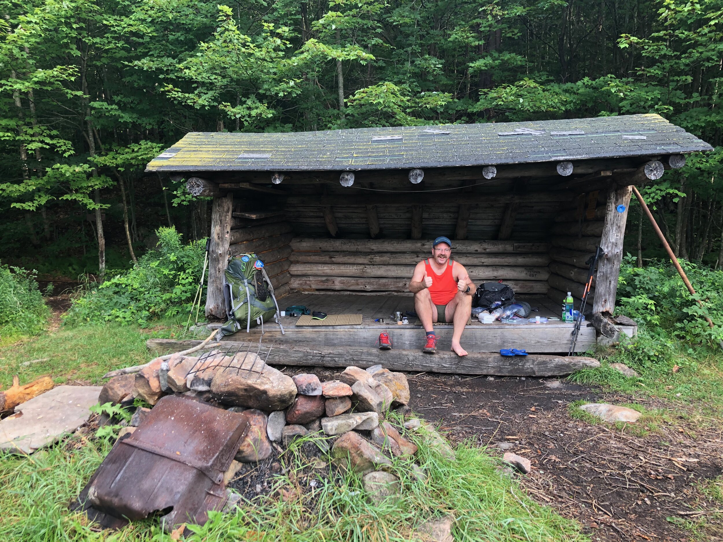
In addition to a beautiful view and loon songs, the Cedar Lakes Lean-to 1 is also home to many mice (more so than any we stayed at before this). I was awoken multiple times to the little fellows running around — even one time waking to one trying to climb on my head. Not sure who was more surprised there - me finding and flinging the poor mouse or the poor mouse who was just doing mouse things who found itself thrown out of the lean-to. Was a pretty chilly night too.
Enjoyed breakfast (who would have thought bacon bits even make oatmeal better) and packed up. The trail took us along the last of the lake before we reached the outlet. There we were treated to a mom loon and her little babies dutifully following her. Also discovered the reason why the Cedar Lakes are so low - the dam is more or less blown out.
From here the trail was following a tote road before we left it to avoid beaver flooding. Eventually came back to Tote Road and more or less followed it all the way to Cedar River Road. Passed by Carry lean-to but didn’t stop as it was further off trail than we expected.
We were making great time but then shortly after the side trail to Carry Lean-to, the trail crosses a creek and the beavers must have just recently flooded it. The trail was literally under more than a foot of water. At first we tried to avoid it, but then gave up. I had water almost up to my knees. As soon as the boots started soaking I could feel my toe start to burn. The rest of the hike it just got worse and worse to the point where each step hurt.
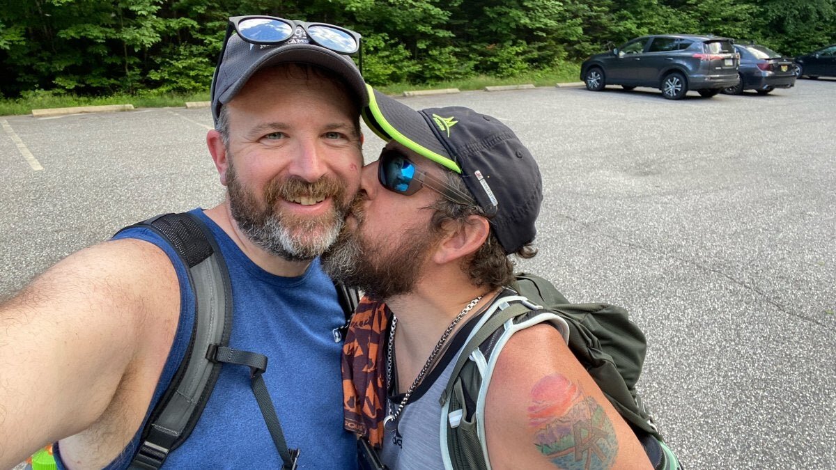
Got to Wakely Dam and tried to dry as we set up camp at one of the first come/first serve campsites. After letting toe dry out and re-bandaging it, we headed out on the slackpack to Lake Durant. Really painful toe - not sure how much more I can walk on it. Hoping there might be a walk in clinic somewhere up here I can have it looked at and cleaned up during the zero. Afraid the nail impaction might be getting infected. I am hoping that taking the day off tomorrow, it gets better and if we can find a clinic even better. I really want to keep hiking with Moe. The experience with him has been amazing. Watching him I’m so proud of what a hiker machine he has become. He has it down to a science. It’s just amazing to watch. Plus we just have such a connection being the two of us in the woods for so long. I love him and I love this trip. I love that it’s shown us another way to come together.
Got back to Wakely Dam with the car (and pizza) around 9:45 and we enjoyed it around the campfire. He wasn't able to put up his hammock because of a lack of trees, so he started in tent with me but ended up sleeping in the car.
Resources for the Northville-Placid Trail in the Adirondack Park
The best guide to the NPT is the Adirondack Mountain Club's Northville-Placid Trail Guidebook
The best map is the National Geographic Trails Illustrated Map for the Northville-Placid Trail
You can save a few bucks and get both the Guidebook and Map as a bundle
Both proved indispensable for this hike. The NPT isn't currently in an app like Guthook and the AllTrails data is very, very limited. For the NPT definitely go with the old fashioned map and pick up the guidebook so you know what to expect. We carried both with us, but if I did it again, I'd just have the map. The map is waterproof/tearproof so it'll survive the hike.
Interested in hiking the NPT, but want guide services? Hike On Guides can do that - we have special long distance hiking services tailored for the Northville-Placid Trail.
Gear we used on the Northville Placid Trail
