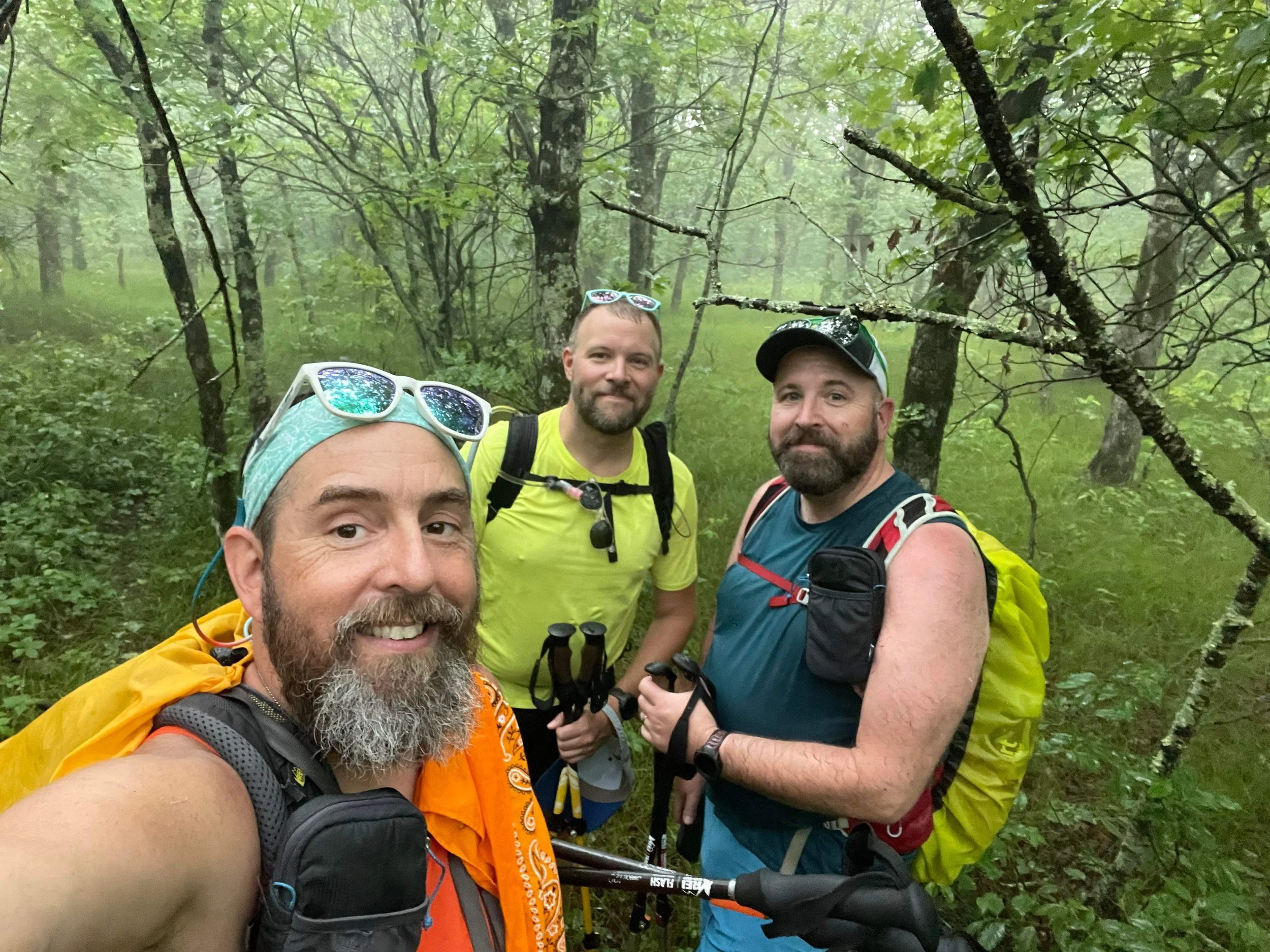
Hiking Black Fork Mountain in the Ouachitas offers a stunning view as reward for a challenging hike
Black Fork Mountain is part of the Ouachita Mountains and straddles the Arkansas-Oklahoma border. Rising to an elevation of about 2,762 feet, Black Fork Mountain is known for its rugged terrain, dense forests, and unique geological formations, which includes a large rock glacier near the summit.
Hiking up Black Fork Mountain on the Black Fork Mountain Trail is both challenging and rewarding. The trail, approximately 12 miles round trip, is rugged, and after the first few miles, overgrown with a lot of dense vegetation on the trail, including vines of briars that can rip through pants and flesh pretty easily.
We did this hike in late May and the overgrown vegtetation had already really started to come in, especially for the last 2 or so miles to the summit. Our guide, the Oklahomo Hiker has done this hike in the winter and noted what a difference a few months of growth made in the difficulty of the hike. We’d go with his recommendation if we did it again, and do the hike in the winter months when the briars and other underbrush die back.
Trail Guide: The Black Fork Mountain Trail begins at the Black Fork Mountain Wilderness Trailhead just off of Highway 270. From the trailhead, the Black Fork Mountain Trail follows the Ouachita Trail for approximately 1 mile to a trail junction where the Ouachita Trail runs right (and descends) while the Black Fork Mountain Trail turns left and ascends. From there, the Black Fork Mountain Trail passes the Black Fork Mountain Shelter and then ascends through forests of oak, pine, and hickory. There are occasional scenic vistas both on trail and just off the trail. As you ascend, your route is is marked by rocky outcrops and a variety of native flora and fauna. As you get higher, you'll cross in front of a large rock glacier, one of the mountain's unique geological features.
The Black Fork Mountain Trail culminates at the summit of Black Fork Mountain, providing panoramic views of the Ouachita Mountains and the surrounding valleys. You'll return back to the Black Fork Mountain Wilderness Trailhead the way that you came.- down the Black Fork Mountain Trail and the Ouachita Trail
This is a challenging and difficult hike with very rough terrain, high mileage, and very few water sources along the way. You'll hike 12 miles and climb more than 2,200 feet along the way.
For More Information
You can find out more about this this hike here:
Our Hiking Advice and Hiking Gear Recommendations
Gear we used on this hike:
Some product links are affiliate links and we earn from qualifying purchases. Others are links through the Amazon Influencer program and as an Amazon Influencer, we earn from qualifying purchases. Still others, we just want you to know about some good gear we enjoy!


