Mahoosuc Range - Goose Eye Mountain and Mount Carlo - Western Maine
Goose Eye Mountain and Mount Carlo are part of the Mahoosuc Range in Western Maine, just to the north and east of the main part of the White Mountain National Forest. The Range is traversed by the Appalachian Trail there are a number of trails that lead up to the Appalachian Trail from Success Pond Road in the north, which makes a couple of different loops possible on this mountain range.
For this loop hike, we began at the trailhead for the Goose Eye and Carlo Col Trails, which is about 8 miles up Success Pond Road. The road is a seasonal dirt road and best driven by truck, though our little Jetta braved it and didn’t really have a problem. It seems the first mile and a half or so is the worst, which is where there’s both vehicular traffic and ATV traffic. After that, the road is better maintained and is for vehicular travel only.
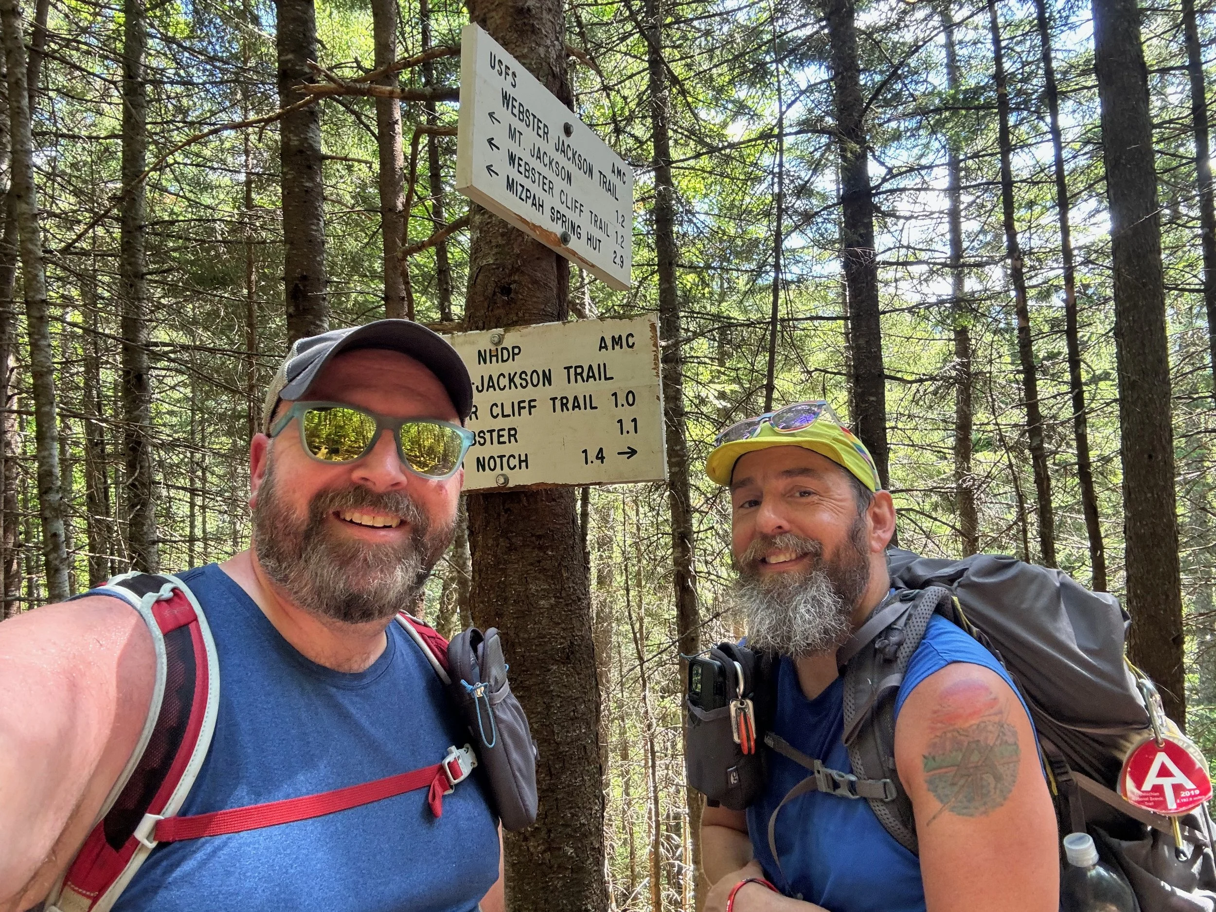
From the trailhead, we hiked up the Goose Eye Trail to the summit of Goose Eye Mountain, followed the Appalachian Trail south from the summit to the summit of Mount Carlo, and then down into Carlo Gap. From there we turned off the Appalachian Trail onto the Carlo Col Trail and descended back down to the trailhead where we started.
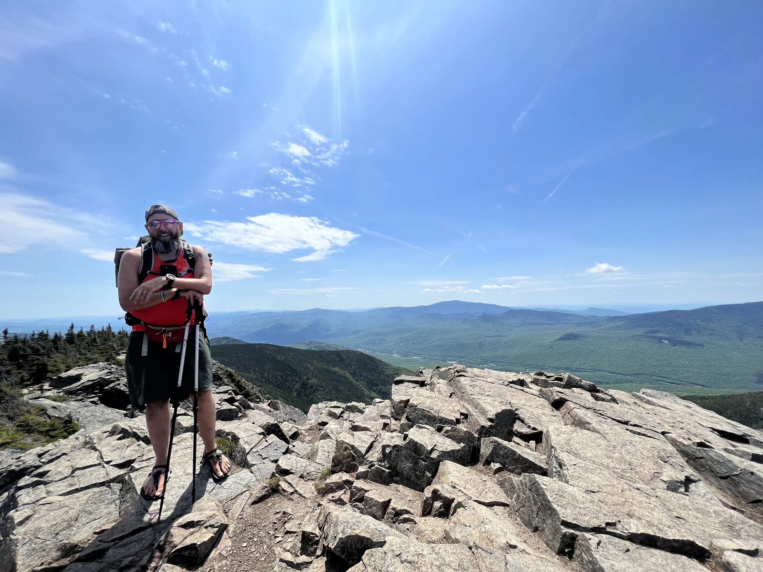
The hike up the Goose Eye Trail began rather gently, but quickly became steep and rocky as we approached the summit of the mountain. There wasn’t anything overly difficult or technical along the way, just typical White Mountain/Western Maine steeps. The summit of Goose Eye Mountain is open rock and it offered amazing views of the surrounding Mahoosuc Range, along with the Presidentials to the west, that were still draped with late spring snow in May when we did this hike.
The hike down Goose Eye towards Mount Carlo became really interesting really quick with a very steep section over a series of cliffs that involved a long wooden ladder, along with iron rungs in the rocks to navigate down through this area. Moe remembered the section, as he and Hazel had done it in the rain and fog and never got to enjoy the views, just the work to get up and over those ladders.
Mount Carlo isn’t all that exciting and the Appalachian Trail/Mahoosuc Trail then drop down into Carlo Col. This was an interesting notch with some boulder caves that were still holding ice and snow. At this point we left the Mahoosuc Trail/Appalachian Trail and began descending on the Carlo Col Trail. We quickly reached the side trail to the Carlo Col Shelter. After a quick visit to the shelter, we continued down to the intersection with the Goose Eye Trail and then the short walk on the combined trail to the trailhead.
We were joined on this hike by Alison Lathrop, our geology professor from Lyndon State College, who has just retired from Lyndon. We all got to catch up and enjoyed a wonderful hike.
All together, this was an 8.2 mile hike with 2,631 feet of elevation gain utilizing the Goose Eye Trail, Mahoosuc/Appalachian Trail, and the Carlo Col Trail.
Don’t know where to start with hiking, backpacking, and camping? We can help you! Visit our professional Outdoor Hiking, Backpacking and Camping Guide Services Company at Hike On Guides.
Gear we used on this hike:
Hydration and nutrition for this hike:
(Product links are affiliate links, so if you purchase something through them, it helps us out)