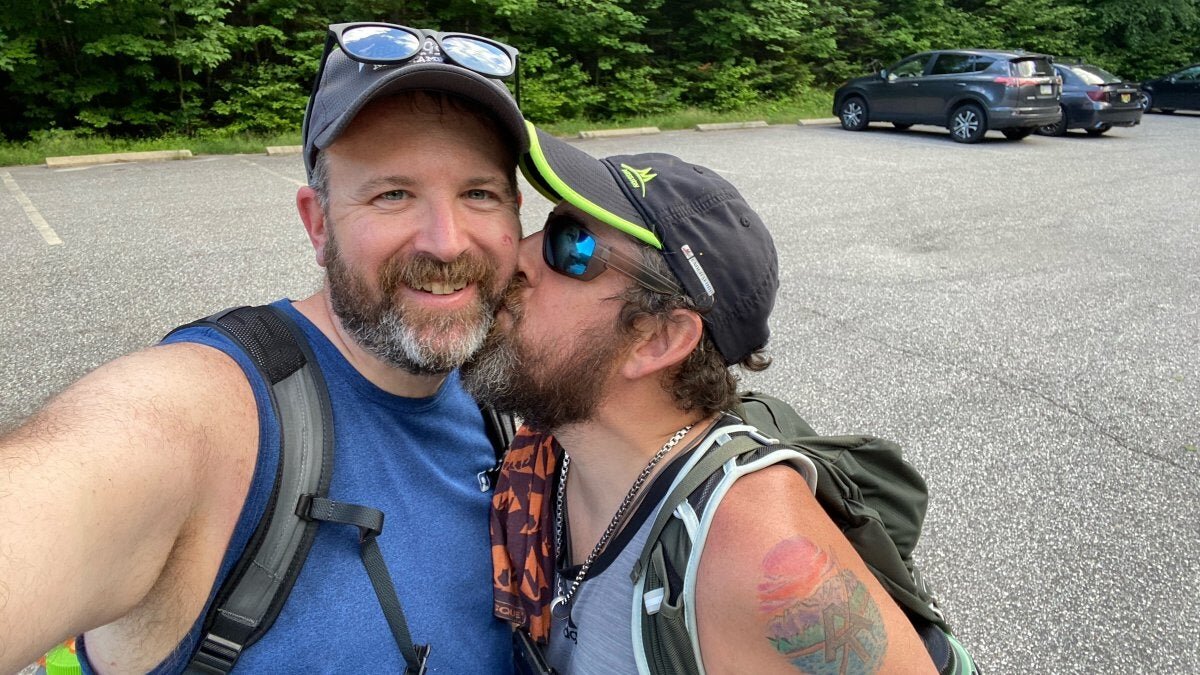
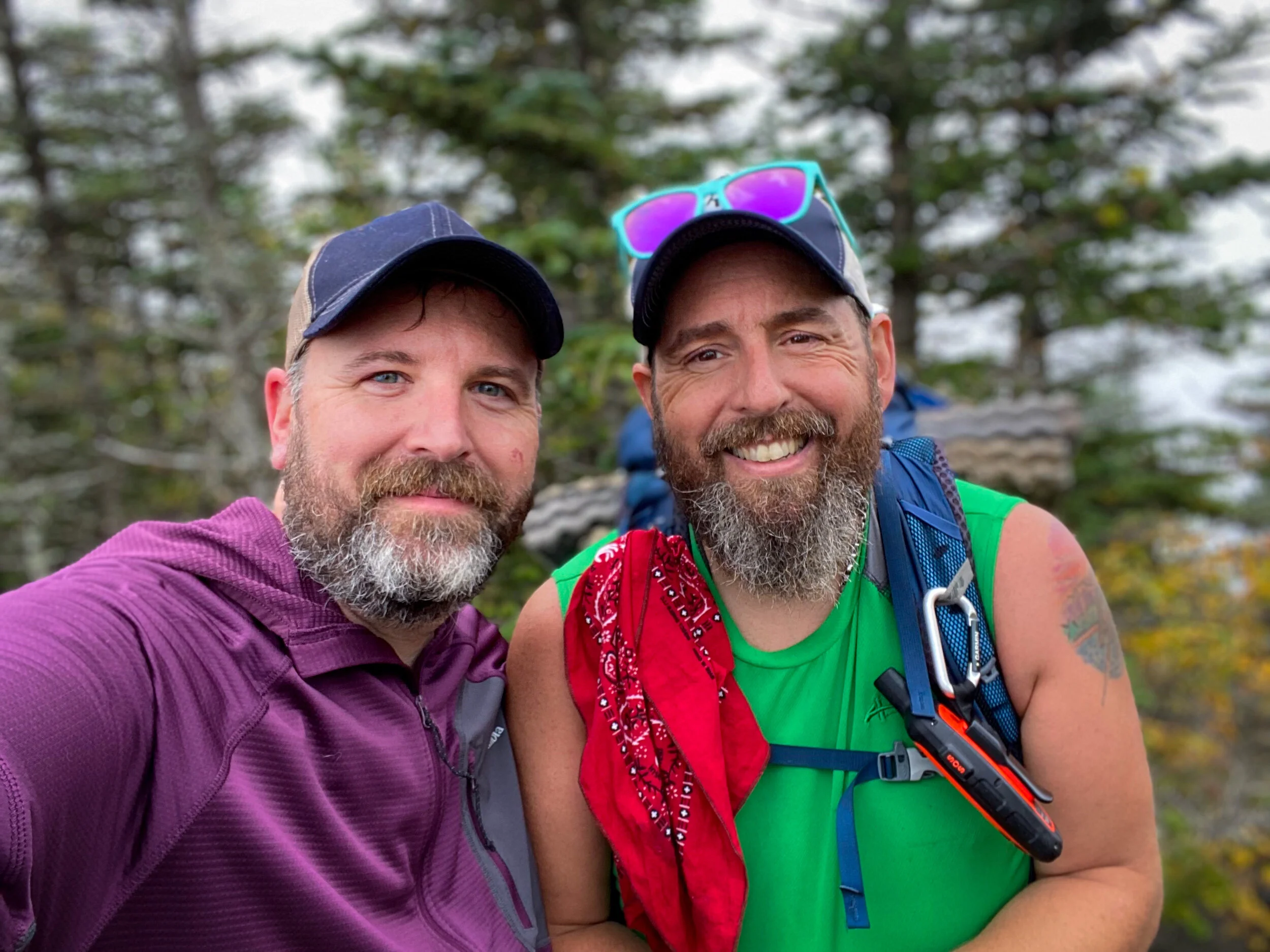
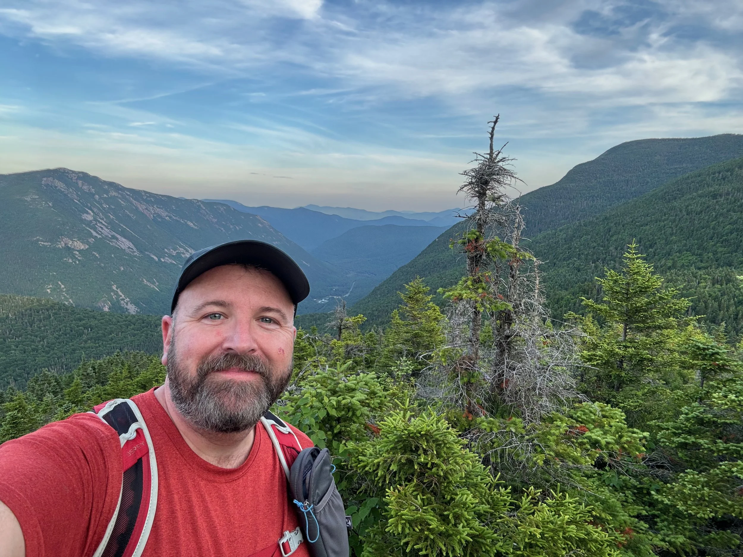
Pemi Loop Backpack in the White Mountains of New Hampshire
The 32-mile long Pemi Loop includes the Franconia Ridge Trail, the Garfield Ridge Trail and the Bondcliff Trail from the Lincoln Woods Trailhead. That trek includes the summits of Mount Flume, Mount Liberty, Mount Lincoln, Mount Lafayette, Mount Garfield, South Twin Mountain, Mount Bond, and Bondcliff Mountains.
Thunderstorms caused a change in plans (and we'd already hiked the Franconia Ridge), so we hiked up Franconia Brook Trail through the heart of the Pemigewasset Wilderness to the Garfield Ridge Trail, where we turned east and completed the eastern half of the Pemi Loop (Garfield, South Twin, Bond, and Bondcliff Mountains). It was almost the same distance (28 versus 32 miles) and still included what’s arguably one of the roughest trail sections in the White Mountains - the section of the Garfield Ridge Trail between the summit of Mount Garfield to just before the Galehead Hut.
The overall loop was about 28 miles (27.7) and we spent 2 1/2 days hiking. Day one was Lincoln Woods to Thirteen Falls Campsite. Day two was Thirteen Falls Campsite to the Guyot Shelter and Campsite, and Day 3 was from the Guyot Campsite back to Lincoln Woods. We utilized the AMC managed campsites, which as of 2022 were $15 per person, per night (we had thought they were $15 per campsite and thankfully we had enough cash between us).
Jeff took what turned out to be a pretty serious fall near the end of the hike (about 6 miles from Lincoln Woods) on the way down Bondcliff. Misplaced footing or just the shoe not gripping quite enough, whatever it was, Jeff went down hard on his thigh. He made it out, though in quite a bit of pain by the end and then once in the car and not moving, the leg really seized up. He went in for a Doctors visit after we got home and while nothing was broken, the bruising done to his thigh and leg was pretty extensive and very deep and he had about a three week recovery to regain full motion in the leg. Goes to show you that accidents can and do happen, even when you're fully prepared for them.
Details and Trail Information: The Pemi Loop (or our Semi Pemi) consists of a number of different trails that generally make their way around the heart of the Pemigewasset Wilderness in the White Mountains. The traditional Pemi Loop starts at the Lincoln Woods Trailhead and takes you over the Franconia Ridge, the Garfield Ridge, and then the Bonds and then back to Lincoln Woods. You can change it up as we did, traversing through the middle of the wilderness, or you can even add more to create what some folks call the “Super Pemi,” which takes you from South Twin over to North Twin and Zealand Mountains, before coming back to the traditional Pemi at Mount Guyot. Here we’ll lay out the hike that we did on this backpacking trip.
Day 1 - Lincoln Woods to Thirteen Falls Campsite: The weather forecast for the day we were supposed to start was not good with heavy rain and thunderstorms forecast. We woke up to those storms and quickly decided that we’d skip the Franconia Ridge portion of the full Pemi. We had all done it before and it just wasn’t worth the risk to be above treeline as long as you would be in thunderstorms. Instead we started later in the day at the Lincoln Woods Trailhead and made our way to the Thirteen Falls Campsite, a distance of about 8 miles on what is mostly old railroad bed. The grade generally climbs to Thirteen Falls, but in any one place it’s hard to tell. The route does go through some wetlands so there is mud and the trail has been rerouted off the old railbed in a few places to avoid flooded or very wet areas, so there is some up and down there. The creek crossings of Hellgate and Redrock Brook weren’t difficult at the low water levels we had and they look to be crossable into intermediate high water. One should be careful at very high water conditions, as the crossings may be difficult or impossible (and there are no bridges).
Thirteen Falls Campsite is run by the Appalachian Mountain Club. It offers over 20 improved campsites, a privy, a kitchen area, and a bear box. When we arrived we were told that bears had been active in the area and had broken into the bear boxes. Heads up, while we thought it was $15 a night per site, it’s actually $15 per person per night. Thankfully we had enough cash between us to make up for the unexpected extra costs. The campsites are nothing special and are pretty small for anything bigger than a 2 person tent. The kitchen area was okay, but featured a leaky tarp. We used the bear boxes, but we did have our own stuff in bear canisters and bear bags, so felt better than the folks simply throwing stuff sacks of food into the boxes, given that the bear had broken in once before. No evidence of bears overnight with us.
Lincoln Woods Trailhead to junction with Franconia Brook Trail via the Lincoln Woods Trail - 2.6 miles
Trail junction with Lincoln Woods Trail to junction with southern end of Lincoln Brook Trail - 1.7 miles
Junction with southern end of Lincoln Brook Trail to Thirteen Falls Campsite on Franconia Brook Trail - 3.5 miles
Day 2 - Thirteen Falls Campsite to Guyot Shelter and Campsite: The morning of Day 2 we got a late start (we have been called Team Late Start after all) and we followed the Franconia Brook Trail to its intersection with the Garfield Ridge Trail. At the trail junction we took a left and climbed the very steep 0.7 miles to the summit of Garfield. This is probably some of the roughest trail in the White Mountains and is a challenge both up and down, but the view from the summit of Garfield is well worth it. After lunch on Garfield, we descended back down to the trail junction with the Franconia Brook Trail and continued on the Garfield Ridge Trail past the intersection with the Gale River Trail to the AMC Galehead Hut. We had a big snack at the hut, filled up on water, and then made the steep ascent up South Twin Mountain on the Twinway Trail. We stayed on the Twinway to Mount Guyot, where we then took the Bondcliff Trail to the Guyot Shelter and Campsite.
The campsite and shelter were very full the night we were there. Patrick and Jeff stayed in the shelter, while Moe hammocked. Once again it was $15 per person per night. The shelter slept about 20 people and there are a number of tent platforms and areas to hang a hammock. There are also bear boxes, a cooking area, a privy, and a reliable water source (the only water source between Galehead Hut and several springs on the descent of Bondcliff). It wasn’t the most pleasant experience for any of us. Just a lot of people and a lot of noise. Not a place we’d want to stay at again. Also the campsite and shelter are significantly below the Bondcliff Trail, so there’s a lot of descent, and then climbing back up to get to the trail.
Thirteen Falls Campsite to intersection with Garfield Ridge Trail via the Franconia Brook Trail - 2.2 miles
Intersection of Franconia Brook Trail and Garfield Ridge Trail to the summit of Garfield and back - 1.4 miles
Intersection of Franconia Brook Trail and Garfield Ridge Trail to Galehead Hut - 2.2 miles
Galehead Hut to South Twin Mountain via Twinway Trail - 0.8 miles
South Twin Mountain to intersection with Bondcliff Trail - 2.0 miles
Intersection of Bondcliff Trail and Twinway to Guyot Shelter and Campsite - 0.6 miles
Day 3 - Guyot Shelter and Campsite to Lincoln Woods Trailhead: After climbing out from the campsite back to the Bondcliff Trail, we continued heading south on the Bondcliff Trail, passing the trail junction with the side trail to West Bond (1 mile round trip) and then shortly coming to the summit of Mount Bond. From there, the trail descends steeply to Bondcliff, and then descends even more steeply before flattening out when it reaches the old railroad grade along the East Branch of the Pemigewasset River. From there the trail is more or less flat to the intersection with the Franconia Brook Trail and the Lincoln Woods Trail. At that intersection, we took the Lincoln Woods Trail back out to the Lincoln Woods Trailhead.
Guyot Campsite to Mount Bond on Bondcliff Trail - 0.7 miles
Mount Bond to Bondcliff on Bondcliff Trail - 1.2 miles
Bondcliff to intersection with Lincoln Woods and Franconia Brook Trails via the Bondcliff Trail - 6.2 miles
Intersection with Bondcliff and Franconia Brook Trails to Lincoln Woods Trailhead via the Lincoln Woods Trail - 2.6 miles
More Information about this hike
You can find this hike:
Need help on a hike or a backpack like this? You can work with us on Outdoor Hiking, Backpacking and Camping Guide Services: Hike On Guides (hike with us!) - https://hikeonguides.com
Backpacking Gear We Used
Hydration and nutrition for this hike:
(Product links are affiliate links, so if you purchase something through them, it helps us out)
Our Hiking Advice and Hiking Gear Recommendations


