Hiking Mount Tom and Mount Field, Discovering two of New Hampshire's 4000 Footers
Mount Tom (4,051') and Mount Field (4,327') are two of New Hampshire's 48 mountain peaks that reach above 4000 feet in elevation. While Mount Tom doesn't offer much of a view, Mount Field does. In addition Tom and Field, the hike also includes a climb over the smaller Mount Avalon, which offers the best view of all three mountains.
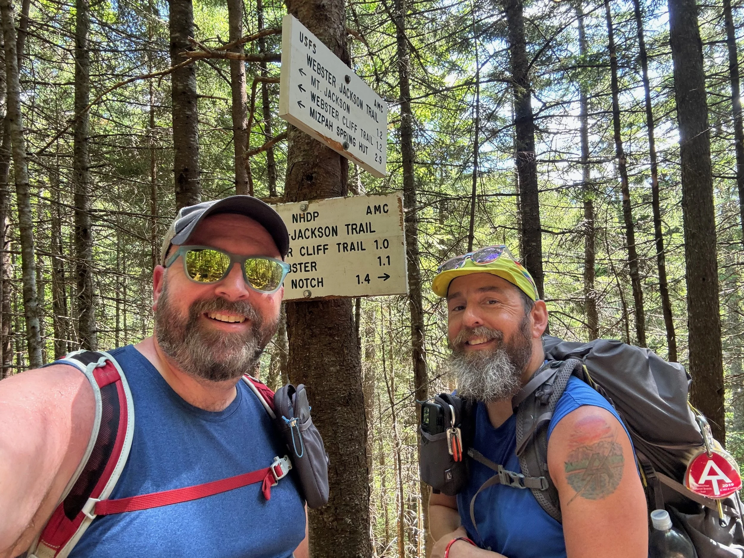
Trail Description: The hike begins from Crawford Notch, just behind the train station for the Conway Scenic Train. You'll begin on the Avalon Trail, which starts gently, but begins to climb quickly after the first stream crossing. As you go higher towards Mount Tom, you’ll have a steady climb that can be challenging in some sections. At 1.3 miles, the trail connects with the A-Z Trail, which leads you to the junction with the Mount Tom Spur Trail, which you will follow to the top of Mount Tom. At the summit, you’ll find a pile of rocks marking the top, but no views.
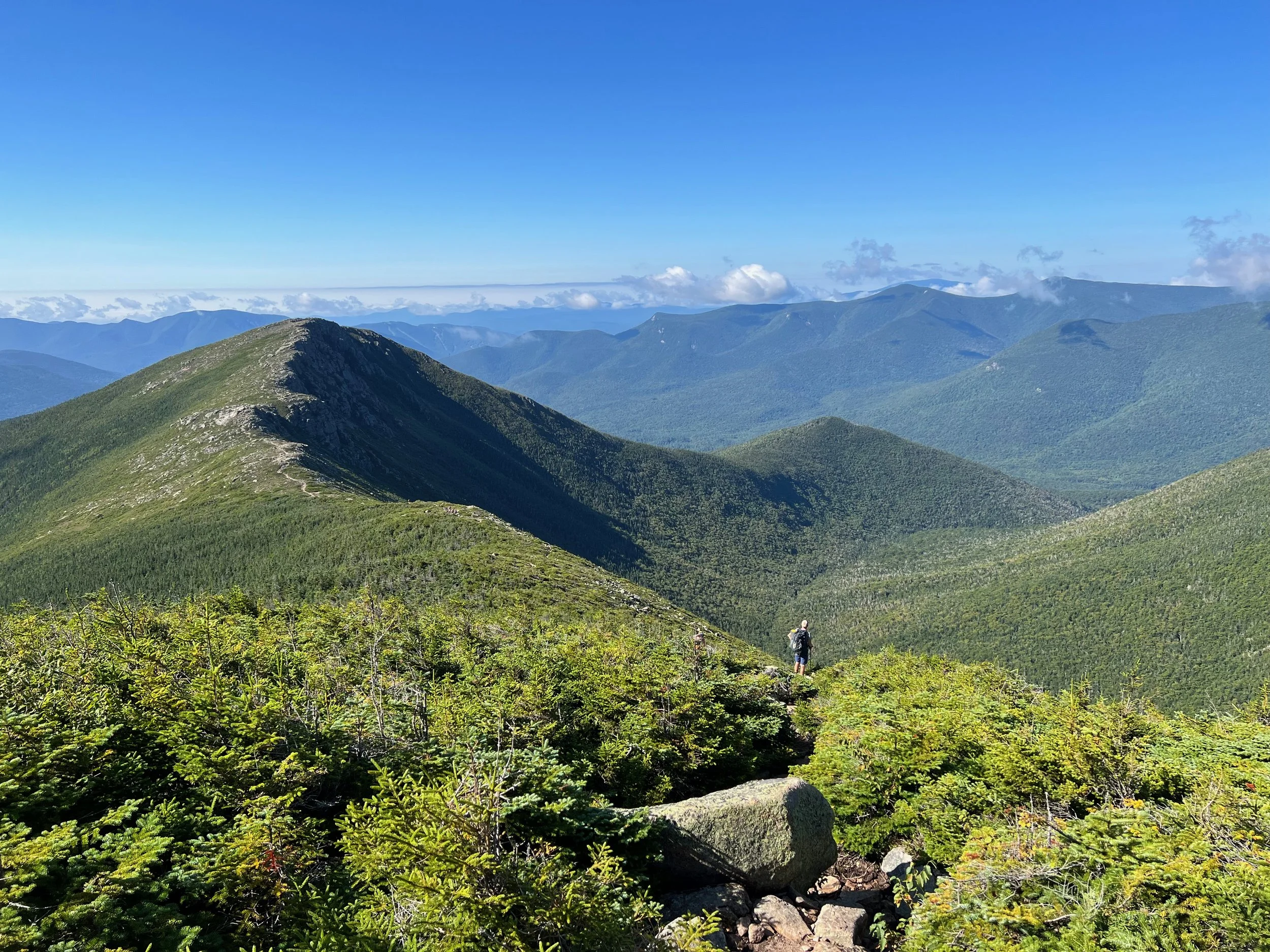
From the summit of Mount Tom, you'll hike back down the Mount Tom Spur Trail, and then follow the Willey Range Trail toward Mount Field. The trail climbs moderately, with some rocky terrain along the way. You'll intersect with the Avalon Trail and the summit of Mount Field is about a hundred yards further on the Willey Range Trail. The summit of Mount Field is also marked with a pile of rocks, but offers panoramic views of the Presidential Range and the Pemigewasset Wilderness just off the summit, making it a perfect spot for a rest and some snacks.
Descending from Mount Field, you’ll head towards Mount Avalon via the Avalon Trail. The descent is moderate to steep in a few places and brings you to the trail junction with the short spur trail that runs to the summit of Mount Avalon. Though Avalon is lower in elevation compared to Tom and Field, the mountain provides stunning views of Crawford Notch and the surrounding peaks. The descent back to trail junction with the A-Z Trail is very steep and rocky in places. You'll then hike out on the Avalon Trail that you had hiked up on.
The total hike is about 7 miles in length with about 2,800 feet of elevation gain along the way. The hike is moderate to difficult, with some steep and rocky spots along the way.
For More Information About This Hike
You can find this hike:
Hike On Guides: Need help on a hike like this? Moe is a NYS licensed hiking and backpacking guide. You can hire him for Hiking, Backpacking and Camping Guide Services at Hike On Guides for hikes in New York, New Hampshire, Vermont, and Massachusetts.
Our Hiking Advice and Hiking Gear Recommendations
Gear we used on this hike:
Some product links are affiliate links and we earn from qualifying purchases. Others are links through the Amazon Influencer program and as an Amazon Influencer, we earn from qualifying purchases. Still others, we just want you to know about some good gear we enjoy!
Important Hiking Considerations:
Weather: Check the weather forecast before your hike and be prepared for changes in conditions.
Safety: Some sections of the trail can be steep and rocky, so use caution and watch your footing.
Leave No Trace: As with any outdoor activity, remember to follow the principles of Leave No Trace. Pack out any trash, stay on the trail, and be respectful of the natural environment.